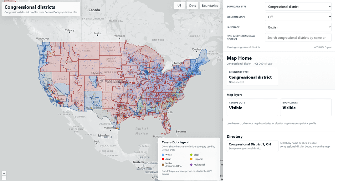
Share Facebook Twitter LinkedIn Pinterest Bluesky Threads https://ohioscioto.github.io/United-States-Interactive-Political-Map/ by IndividualStraight55
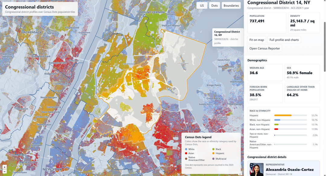
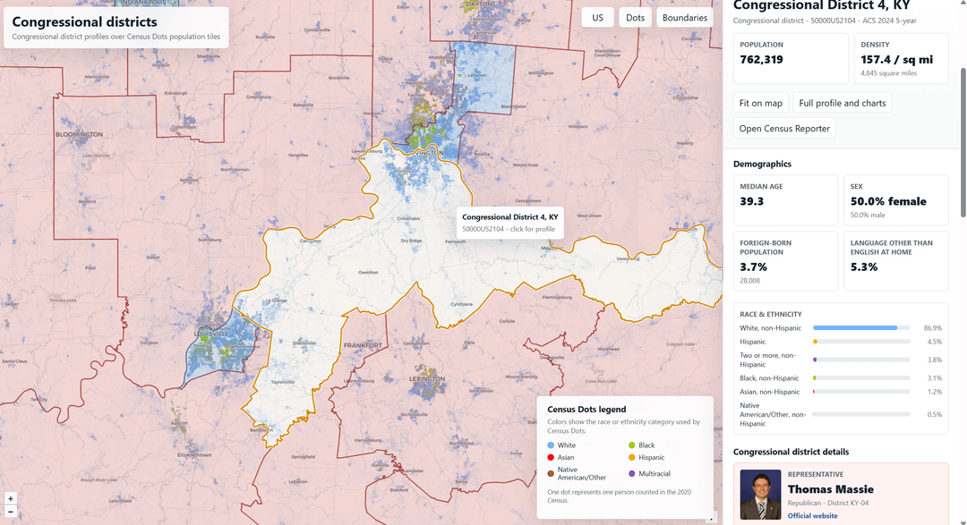
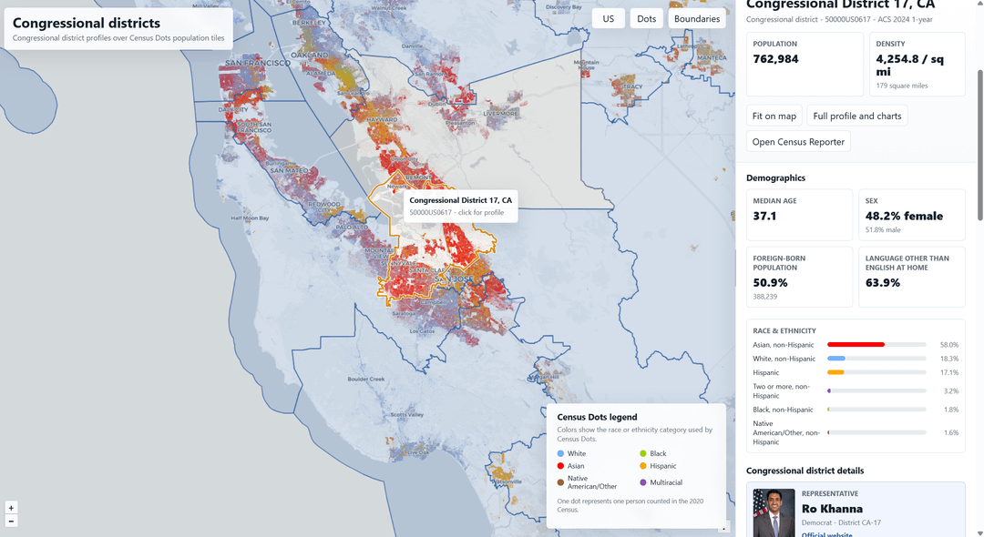
IndividualStraight55 on May 14, 2026 7:02 pm Data from CensusReporter (http://censusreporter.org/) and Census Dots (https://censusdots.com/). The maps were layered on top of each other and the GUI was created using Codex.
ThraceLonginus on May 14, 2026 7:24 pm The legend is like 40% of the screen on mobile. What are you using for the mapvis? Deck?

3 Comments
Data from CensusReporter (http://censusreporter.org/) and Census Dots (https://censusdots.com/). The maps were layered on top of each other and the GUI was created using Codex.
How interactive is it? Can I effect elections with this?
The legend is like 40% of the screen on mobile.
What are you using for the mapvis? Deck?