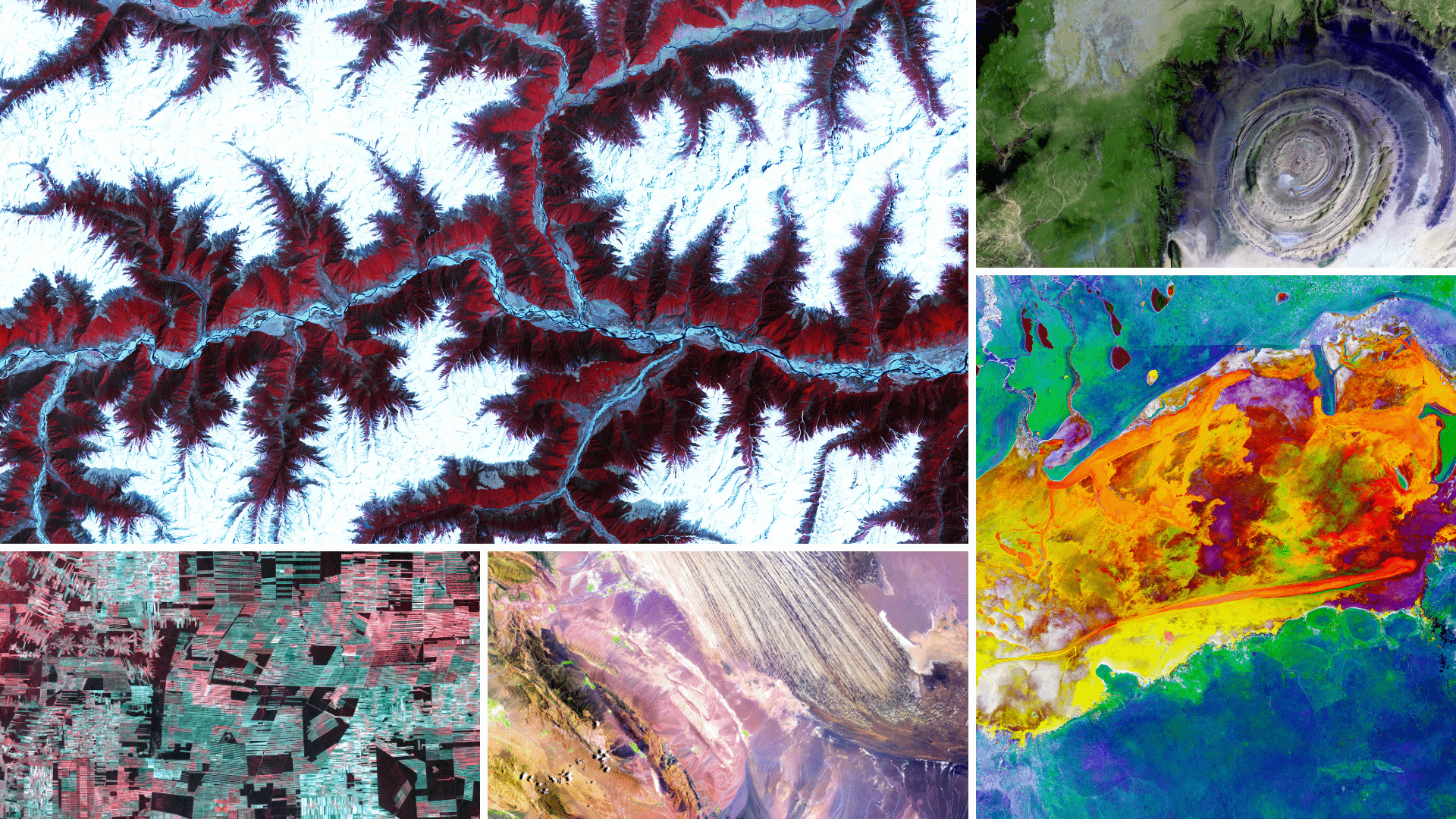
Glass-Caterpillar-70 on December 16, 2025 12:05 pm Data Sources: – Sentinel-2 satellite imagery (ESA Copernicus Programme) – Landsat 8/9 satellite imagery (USGS/NASA) Tools Used: – QGIS for geospatial processing – Python (rasterio, numpy) for band manipulation – False color composites using different spectral band combinations

1 Comment
Data Sources:
– Sentinel-2 satellite imagery (ESA Copernicus Programme)
– Landsat 8/9 satellite imagery (USGS/NASA)
Tools Used:
– QGIS for geospatial processing
– Python (rasterio, numpy) for band manipulation
– False color composites using different spectral band combinations