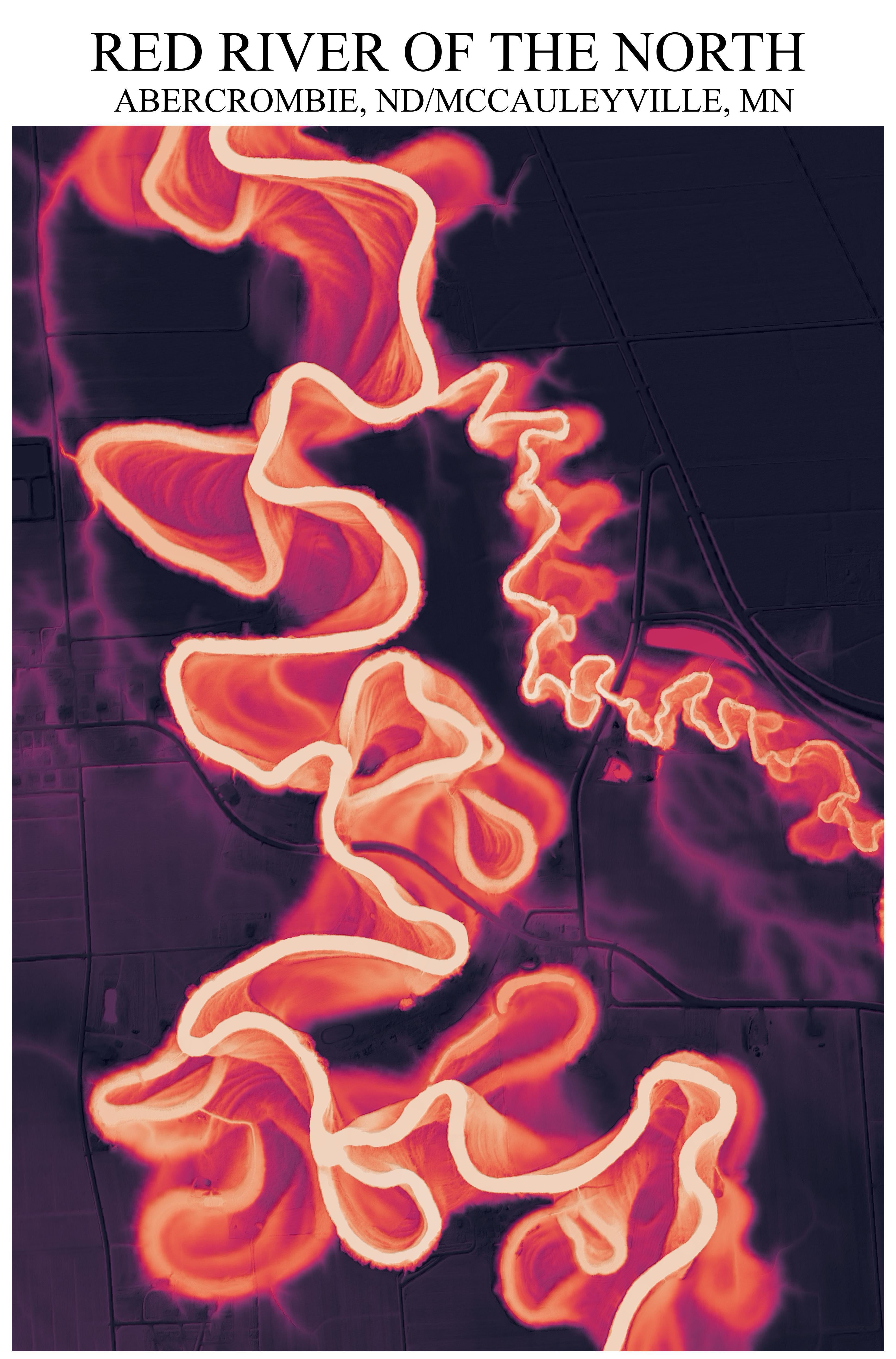
I used QGIS to process USGS 3DEP LiDAR data and make a relative elevation model of the Red River of the North. by OkAge358
November 12, 2025At the current pace, women won’t reach pay parity with men until 2059 (Bankrate, 1960–2059)