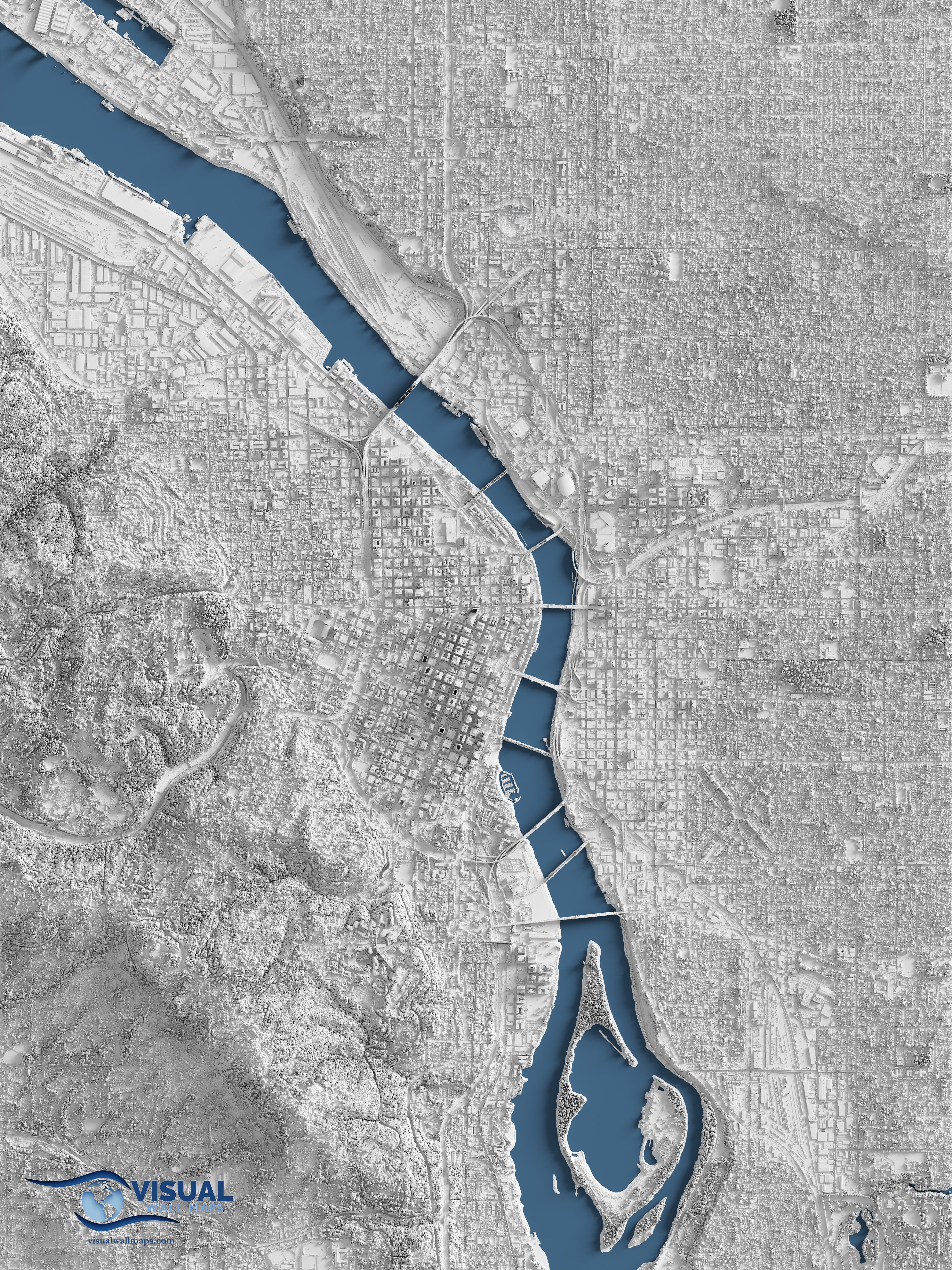
A detailed shaded relief map centered on downtown Portland, Oregon rendered from Lidar data [OC] by visualgeomatics
visualgeomatics on September 25, 2023 4:53 am Source: USGS 3DEP Lidar data captured in 2019 (https://apps.nationalmap.gov/) Tools: Blender, QGIS, Global Mapper, Photoshop Description: I converted a lidar point cloud of over 2 billion points into a surface model and cast light on it to create a highly detailed image that looks 3d. Check out other examples on my [instagram](https://www.instagram.com/visualwallmaps)

1 Comment
Source: USGS 3DEP Lidar data captured in 2019 (https://apps.nationalmap.gov/)
Tools: Blender, QGIS, Global Mapper, Photoshop
Description: I converted a lidar point cloud of over 2 billion points into a surface model and cast light on it to create a highly detailed image that looks 3d. Check out other examples on my [instagram](https://www.instagram.com/visualwallmaps)