
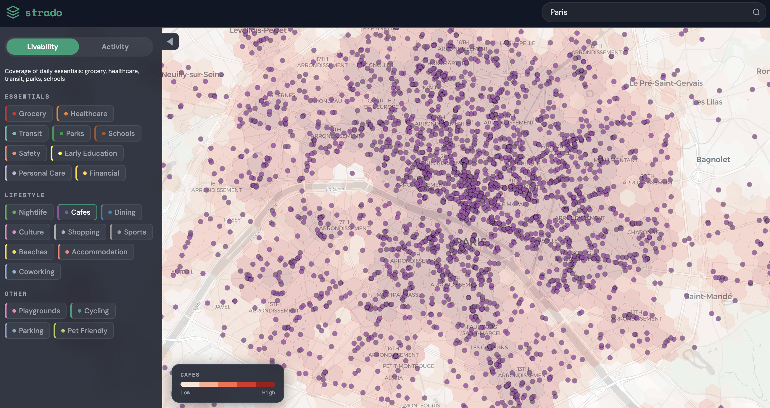
Each dot is a single cafe or restaurant from OpenStreetMap data. Central Paris is basically just one continuous cafe at this point.
I built a tool that maps POIs across 50+ European cities https://strado.info/map — Paris broke it visually. The density around Le Marais and Saint-Germain is absurd.
Anyone wants a caffe?
by No_Turnover8182
1 Comment
Data is from OpenStreetMap. Built a tool to visualize it at [strado.info](http://strado.info) — it has 22 layers like nightlife, healthcare, transit, parks. Handy if you’re trying to figure out which neighborhood to move to.