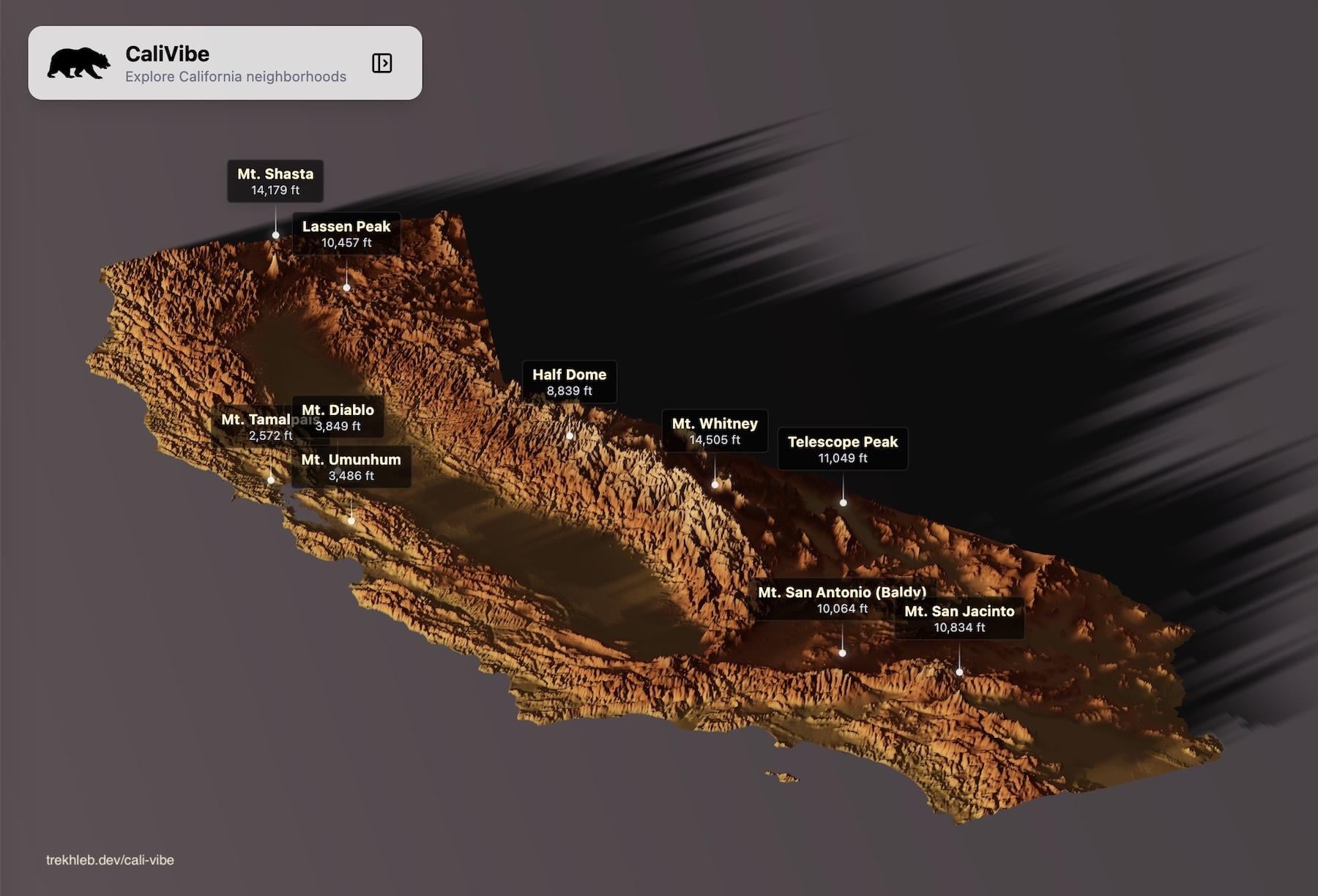
**Data sources:** CA DOJ OpenJustice (2023), CA Dept. of Finance E-1/E-6 (2024), ERA5 Reanalysis via Open-Meteo (2014-2023), US Census Bureau TIGER/Line (2023-2024), AWS Terrain Tiles
**Tools:** React, TypeScript, MapLibre GL, Three.js, Tailwind CSS, Vite
The code is open-sourced here [https://github.com/trekhleb/cali-vibe](https://github.com/trekhleb/cali-vibe) (feel free to check post-processed data in JSON format, collected from the sources mentioned above)

1 Comment
**Data sources:** CA DOJ OpenJustice (2023), CA Dept. of Finance E-1/E-6 (2024), ERA5 Reanalysis via Open-Meteo (2014-2023), US Census Bureau TIGER/Line (2023-2024), AWS Terrain Tiles
**Tools:** React, TypeScript, MapLibre GL, Three.js, Tailwind CSS, Vite
The code is open-sourced here [https://github.com/trekhleb/cali-vibe](https://github.com/trekhleb/cali-vibe) (feel free to check post-processed data in JSON format, collected from the sources mentioned above)
https://preview.redd.it/sl7vmqhinuog1.png?width=1180&format=png&auto=webp&s=0f01e1a8cb65d46396db73771159ab2299871ee1